


Horseback Riding
Bring your horse to Beaver County and discover miles of gorgeous scenery and rugged trails.
Trails in the Tushar Mountains in the Fishlake National Forest are marked with a horse when they are appropriate to ride on. This is a rugged country, so be prepared for downed logs and brush that may be on some of the trails. The scenery is spectacular, and the amount of riding available is endless. You can always turn a day in the mountains into a pack trip with your favorite horse.
A few trails to start with include Skyline Trail and the trail to Blue Lake.
Blue Lake can be accessed by Big John Flat and the Mud Lake Trailhead #172, which will lead to Blue Lake and back. This trail is a steep decline in parts, so expect an incline on the return. Blue Lake sits at the base of Mt. Baldy, and the trail to it requires a good trail horse that is sure-footed. Though the trail is marked, be sure to grab a Forest Service map to take with you. If you want to make this an overnight pack trip, consider accessing Blue Lake from the bottom of the South Fork of North Creek trail #062, which has a ton of water crossings and beautiful sites along the way. You can either go back the way you came or continue up to Big John’s Flat. Just make sure you have a horse trailer waiting if you chose the latter.
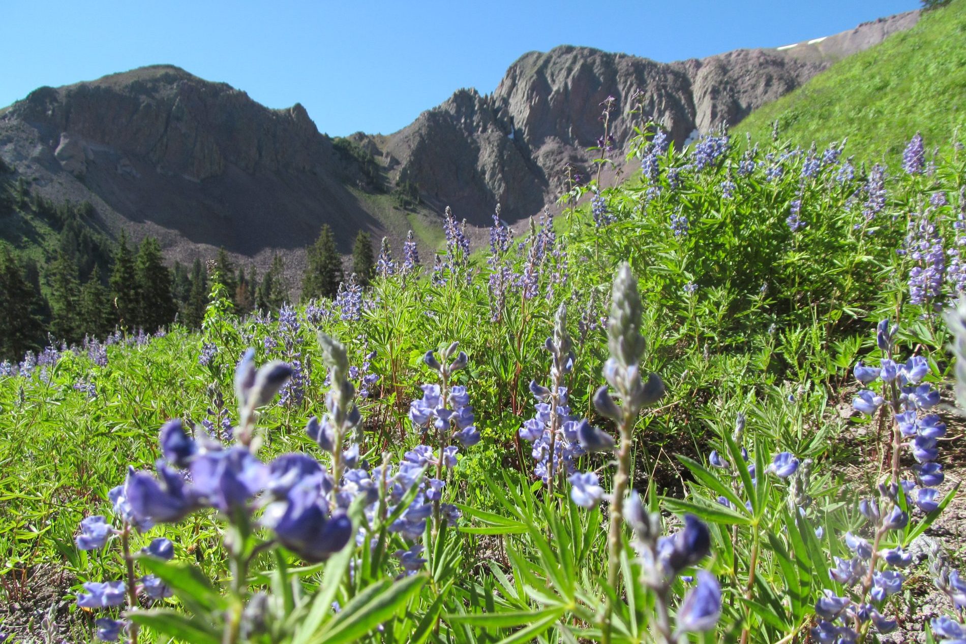
Merchant Valley has a great day ride along with some overnight dispersed camping. The Jimmy Reid Trail is an easy loop that has regular trail work most years. This trail is high alpine and has sights looking out at Mt. Baldy and Mt. Belknap. There are some beautiful meadows that open up for the most epic views of wildflowers and streams. Plan on pulling off at Merchant Valley or right before to find some great camping spots.
Strawberry Flat is a great place to unload your horses and head up to Big Flat. Trail #229 is a wonderful way to see a lot of country as it winds up into the Tushar Mountain range and into a more remote area. There has been a ton of work by the Forest Service to keep the trees in this area healthy, so you’ll see some tall towering trees. There is water along the way to stop and water your horses. Make sure to stop and get a Forest Service map so you can explore other trails and keep up with where you are.
Highlights Highlights
Even More Even More
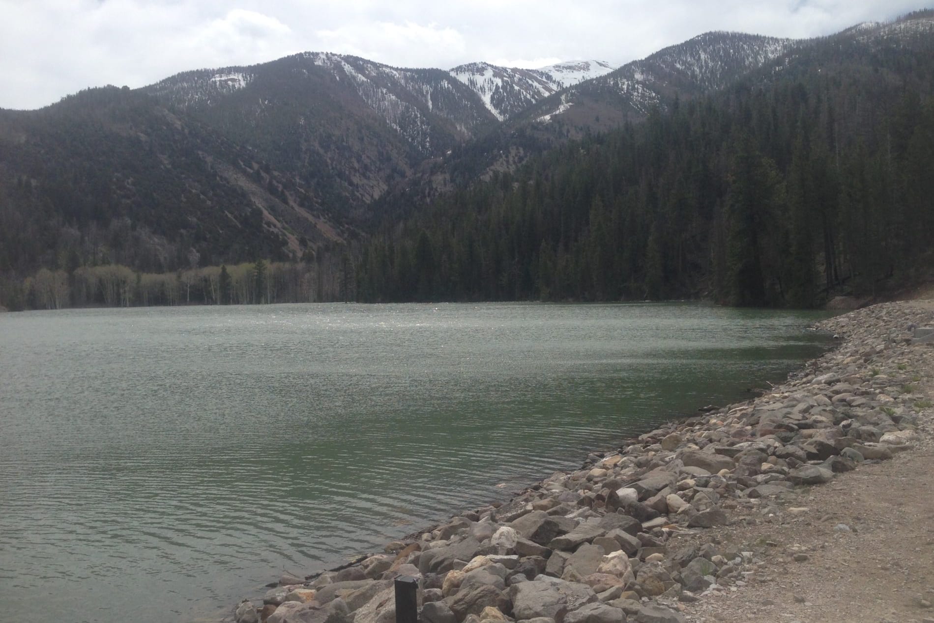
Manderfield Reservoir
Manderfield Reservoir (AKA Indian Creek Reservoir) was built in the 1920s by the Manderfield Ditch and Irrigation Company. The reservoir was comprised of two side-by-side impoundments sometimes identified on maps as Indian Creek Reservoir and Manderfield Reservoir.
Bullion Canyon
The canyon is located on the eastern slopes of the Tushar Mountains between Mount Belknap and Delano Peak. The name comes from the old gold, silver, lead and copper mines in the area.