


Hiking
Hiking in Beaver County is an incredible experience. Within an hour's drive of downtown Beaver lies over 100 miles of pristine trails with a variety of landscapes and terrains. In a single day, you can hike the high-desert terrain on the west side of Beaver County and the high-alpine forests of the Tushars on the east side.
If you’re going to hit some hiking trails in the Tushars, make sure to stop at the Fishlake National Forest Office and pick up a complimentary trail map.
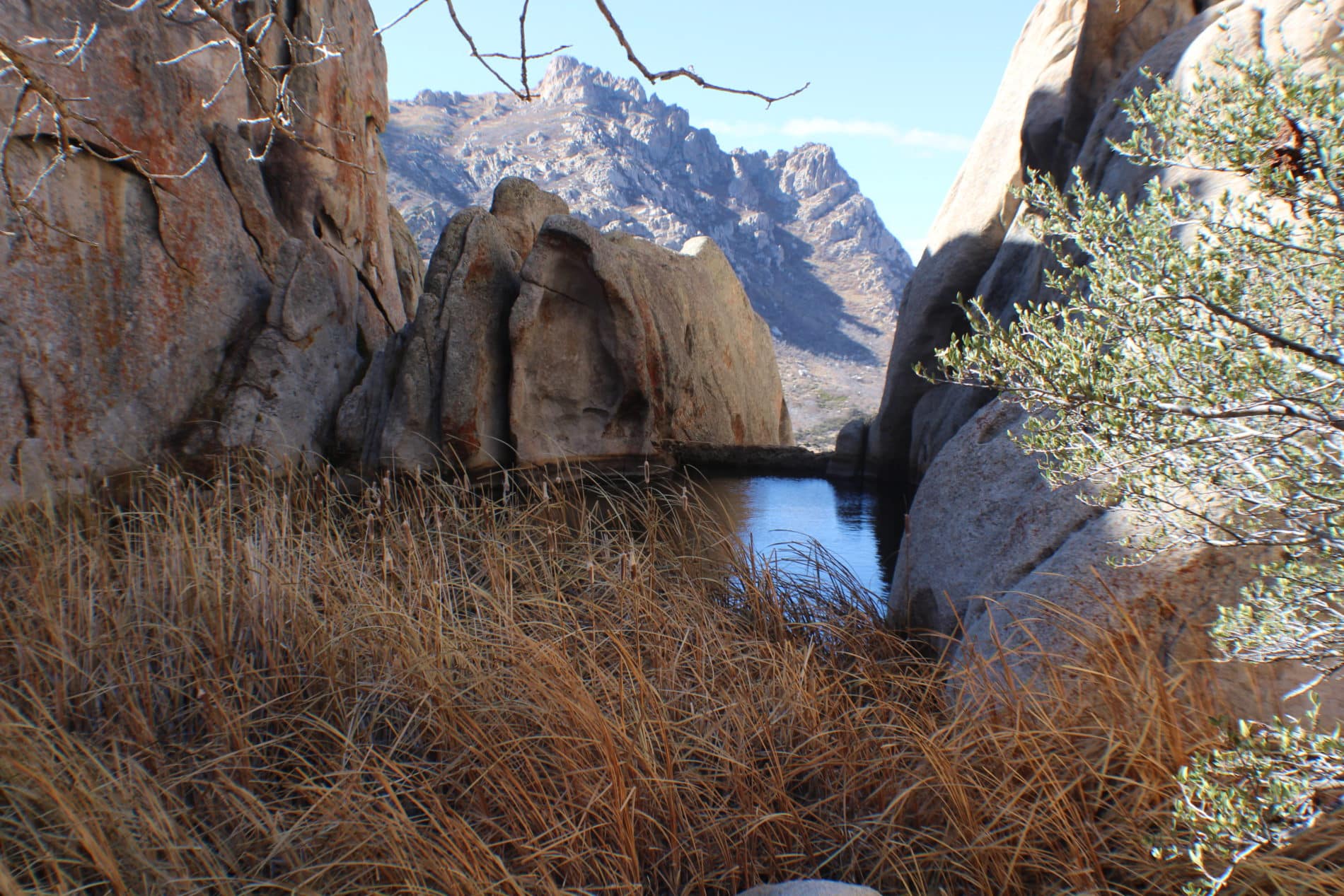
The Mineral Mountains do not have marked trails, but Rock Corral allows you to wander, explore, and scramble around fascinating rock formations. Note, Rock Coral and the Mineral Mountains are more remote, so come prepared with water a food.
Highlights Highlights
Even More Even More

Bag a Peak in Beaver County
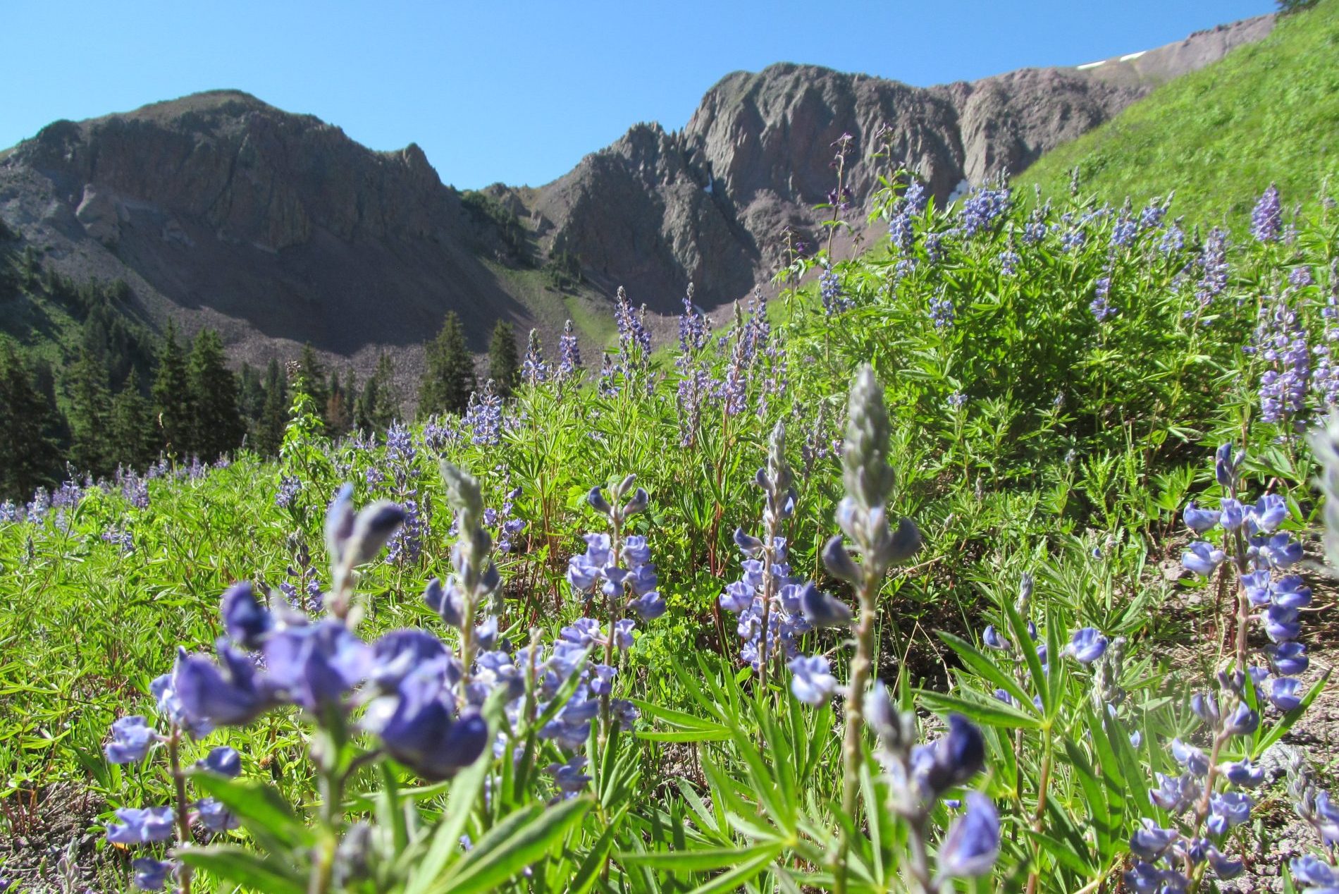
The Tushar Mountain range, just east of the city of Beaver, is the third-highest mountain range in the state, with three peaks topping 12,000 feet. Challenge yourself to bag them all while enjoying spectacular views, serene landscapes, and solitude in which
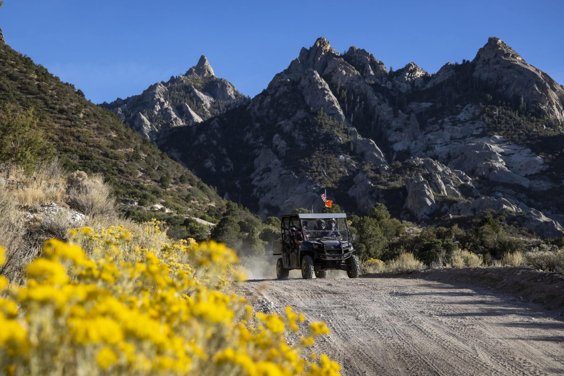
An Insider’s Guide to the Amazing Mineral Mountains
From rockhounding to rock climbing, spectacular outdoor adventures await in Utah’s Mineral Mountains.

MT. BALDY
Along with Belknap and Delano, Mt. Baldy soars above the other mountains of the Tushars, an impressive rock pinnacle that juts into the sky.
MINERAL MOUNTAINS
Located just west of Beaver, the Mineral Mountains offer 28 miles of spectacular outdoor adventure!
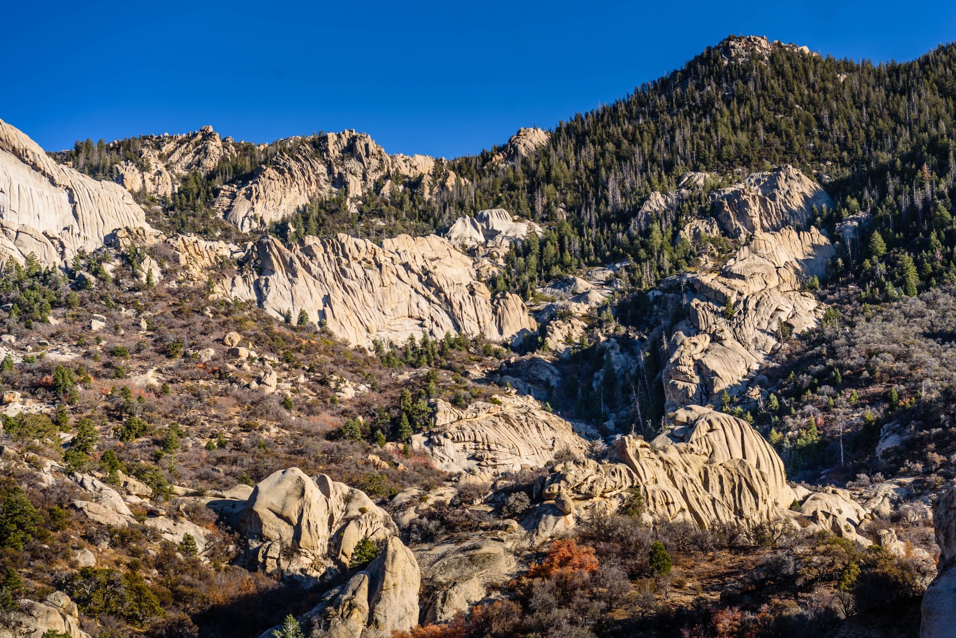
Granite Peak
From the east, Granite Peak doesn’t look like much, but the western side reveals breathtaking formations of rock and undiscovered canyons. The tallest peak in the Mineral Mountains (named for their rich offerings), Granite Peak offers sweeping views of the
Bullion Canyon
The canyon is located on the eastern slopes of the Tushar Mountains between Mount Belknap and Delano Peak. The name comes from the old gold, silver, lead and copper mines in the area.

The Top 6 Hikes in Beaver County
Beaver County is a land of hard-edged mountains, remote desert ranges, and clear horizons in southwest Utah. The Tushar Mountains east of Beaver and Interstate 15 offer the county’s best hiking adventures with trails threading among high peaks and crossing